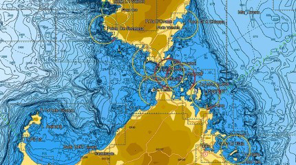
C-MAP 4D Local Chart - Lake Superior

Free 2-Day Shipping!

C-MAP 4D Local Chart - Lake Superior

C-Map 4D Local Chart - Lake Superior. C-MAP 4D is the ultimate C-Map navigation chart that includes all the features of our popular C-MAP MAX cartography, such as detailed harbor charts, C-Marina port databases, Explorer Charts in the U.S. and more.
  • SKUCMAPD930
  • MAN#M-NA-D930
  • ID#: 3879
Our Price:
$199.00
Availability: 
In Stock
Shipping:
Free 2-Day Shipping!
Condition:
Brand New

C-Map 4D Local Charts enhance your compatible C-Map 4D Plotter and add the following navigation features and technology for your specified area.

C-MAP 4D is the ultimate C-Map navigation chart that includes all the features of our popular C-MAP MAX cartography, such as detailed harbor charts, C-Marina port databases, Explorer Charts in the U.S. and more. The 4D content also includes the same data as MAX, along with the latest in navigation features, such as

Full Featured Vector Charts- Providing a wealth of chart detail with the versatility to customize data layers and how they are viewed.
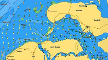
CMap 4D Vector Charts

Dynamic Raster Charts- Dynamic Raster Charts: Offers a traditional “paper chart” look with the unique ability to access specific information on buoys, lights, and other details

Cmap 4D Raster Charts

3D Views- 3D Views: Provide users with three dimensional views of land elevation and bottom contours bringing what’s around you and under the boat to life.
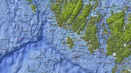
CMap 4D 3D Images

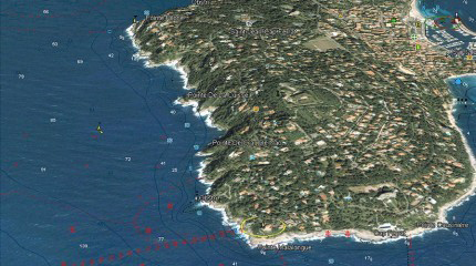
Satellite Views- High-Resolution satellite imagery provides real-world references enhancing situational awareness for coastal navigation.

C-Map 4D Satellite Imagery

High Resolution Bathy Data- Provides the highest level of detail of underwater pinnacles, ledges, and canyons which are magnets for offshore and coastal gamefish.

C-Map High Res Bathy

Local titles contain the same chart detail as found in the Wide titles but have reduced geographic coverage.

C Map compatibility