Exclusively Designed for Simrad NSX and B&G Zeus S Displays!
Next Generation Charts! New chart presentation from C-MAP offering full-featured vector data and rich features including:
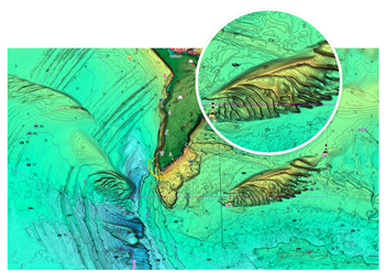
High-Resolution Bathymetry:- The best C-MAP bathy data with new intuitive map inspector tool.
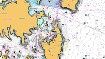
Custom Depth Shading:- Set a safety depth and create your own custom color palette to up your fishing game.
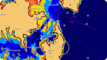
Day & Night Mode:- Best in class Day & Night mode ensures enhanced visibility in all lighting and weather conditions.
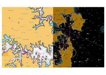
Satellite Overlay:- Maximizes situational awareness with a birds-eye view
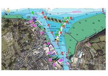
Shaded Relief:- Brings the world around you to life like never before with 3D rendered land and underwater elevations including areas of Ultra-High-Res Bathymetric imagery which is great for anglers and divers
View Bathymetry, Coastline, NavAids and more navigational data as published by NOAA.


