Each C-MAP Reveal Lake HD Card includes the following features:
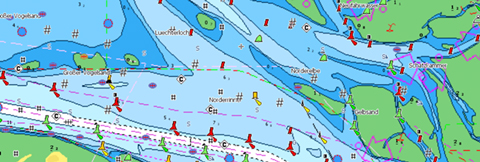
Vector Charts -Full Featured Vector charts make navigation easy by giving you accurate, up-to-date vector chart detail derived from official hydrographic office information.

Satellite Overlay - Satellite Imagery gives information about the surroundings when you find yourself in unfamiliar places.

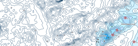
Genesis Layer - C-MAP Genesis Layer adds 1 foot depth contours on top of traditional C-MAP Charts, compiled from Genesis social mapping.

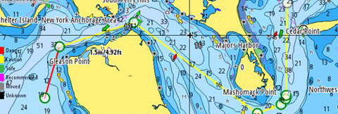
Easy Routing - Easy Routing helps you automatically plot the shortest, safest route based on detailed chart data and your vessel information.

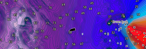
Custom Depth Shading - Custom Depth Shading provides many options to set a safety depth, maintain a paper like view or your own custom color for depths.

- View Bathymetry, Coastline, NavAids and more navigational data as published by NOAA.
- Presentation improvements which display chart content more consistently throughout all zoom levels
- Improved Lowrance-style presentation of icons & points of interest (marinas, boat ramps, gas stations, etc.)
- Refactored contour lines result in more coverage with high-definition 1-foot contours
- Updated depth shading
- Redesigned structure markers (roadbeds, foundations, etc.)
- Low zoom-level improvements include new icons for points of interest -- both on land and in water
- Improved boat ramps and gas stations, building foundations, submerged roadbeds and channel lines are redrawn in a new color.
C-Map Reveal Charts are compatible with select Navico products, Confirm Unit Compatibility here!


