Premium Charting Combining Garmin and Navionics Data for your Garmin Chartplotter
The GPS Store, Inc. is an authorized Garmin Programming Outlet, so rest assured the Garmin Navionics Vision+ chart you are ordering will be shipped with the freshest data available at the time your order is placed.
South region includes detailed coverage of the lakes, rivers and coasts of Alabama, Arkansas, Florida, Georgia, Kansas, Louisiana, Mississippi, Missouri, Nebraska, New Mexico, Oklahoma, Tennessee, and Texas. Coastal coverage of the Gulf of Mexico, the Atlantic coasts of Florida and Georgia, the Bahamas and the Florida Keys are also included.
Garmin Navionics Vision+ Cartography provides the most advanced premium coastal and inland water detail to your compatible Garmin chartplotter. Available in multiple regions, the Vision+ charts integrated with Garmin and Navionics content provide an all-in-one map solution for both inland and coastal waters. High Resolution Relief Shading, 3D Views, Satellite Imagery and More! An updated color palette and Navionics style appearance provides unparalleled coverage and detail. Included with every Garmin Navionics Vision+ charting is a one year subscription that includes simple access to daily chart updates and premium content* via the ActiveCaptain Smart device app.
Auto Guidance+ - Built-in Auto Guidance+ will search the attributes of all relevant charts along with frequently traveled routes to suggest the best course for navigation taking into consideration your desired safe depth and overhead clearance.
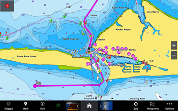
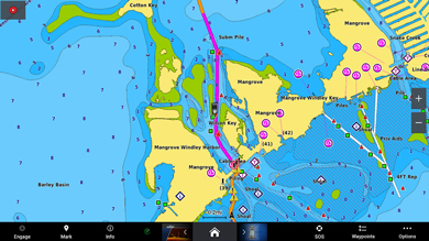
1-Foot HD Contours- Provide a more accurate depiction of bottom structure for improved fishing charts and navigation in swamps, canals, marinas and port plans.
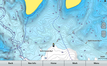
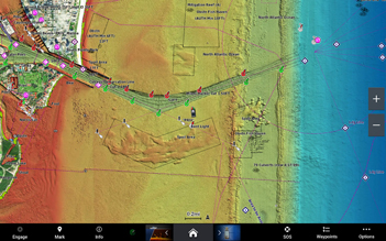
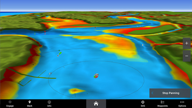
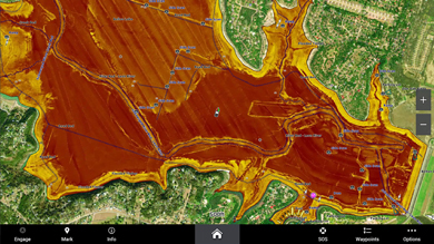
High Resolution Relief Shading- Combines color and shadow to provide and easy to understand, clearer view of the seafloor.

Dynamic Lake Levels- Adjusts your map to the lakes current water level to better understand areas that are too shallow or easily accessible at the current moment.
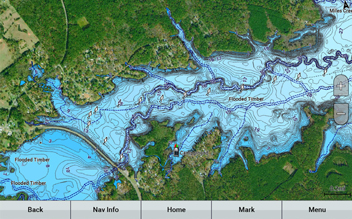
High-Resolution Satellite Imagery*- When overlaid on the chart, will provide the mariner with unparalleled situational awareness especially in unfamiliar ports and harbors.
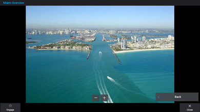
Aerial Reference Photography- Provides aerial photos of ports, bridges, docks, navigation landmarks and more, offering the mariner another powerful tool for navigating unfamiliar waters.
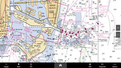
Raster Cartography*- Available as a free download via Garmin's ActiveCaptain App you can add paper chartlike views of NOAA nautical charts.
Depth Range Shading- For up to 10 depths so you can view your designated target depth at a glance.
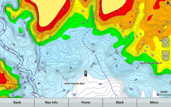
Shallow Water Shading- Allows for user defined depths, showing a clear picture of shallow waters to avoid.
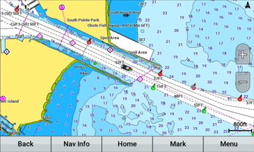
Active Captain Community- Provides valuable POI (Point of Interest) data from mariners with firsthand knowledge of the local areas.
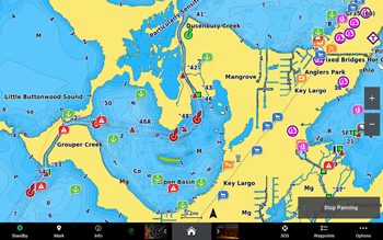
3D Views- 3D perspective such as MarinersEye and FishEye provide additional perspective above and below the water line.
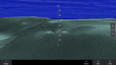
Side Scan Images- View Submerged structure such as fallen timber, wrecks, potential hazards and more on select US Lakes.
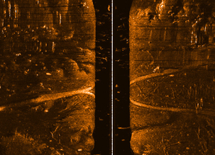
Sonar Imagery- Reveals Bottom hardness in contrasting colors showing subtle and drastic transition areas on select US Lakes.
Check compatibility here!
*Available via Garmin's Free Active Captain App. Garmin Navionics+ Vision cards must be registered in order to download premium content for your area (Satellite Images, Raster Mapping, etc.) and gain access to 1-year of free daily updates. Daily updates can be completed through ActiveCaptain or Garmin Express.


